
“Fteri” Cave
-
Internal Temperature: 18°C
-
Depth: -102 meters
-
Total Developed Length: 312 meters
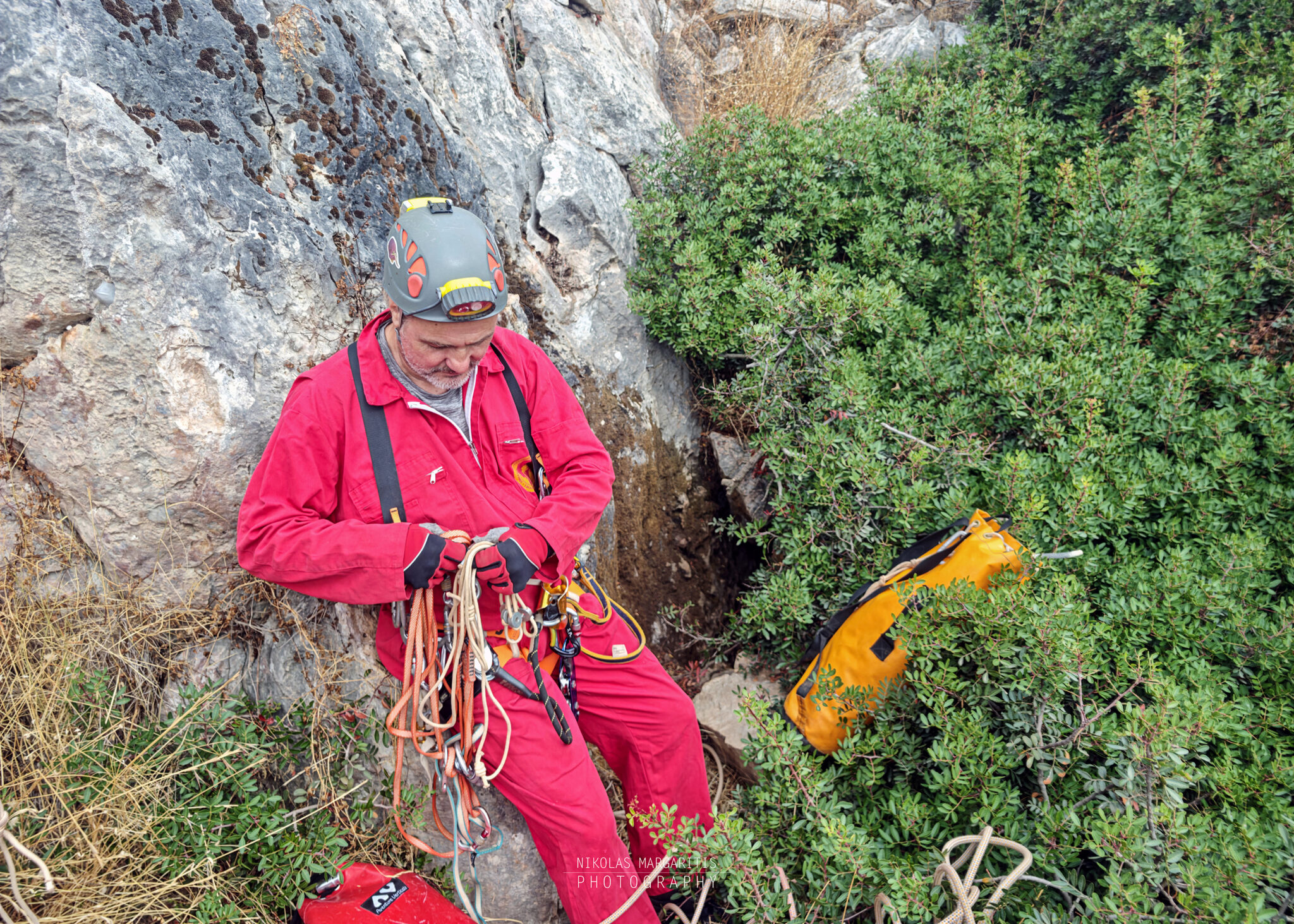
On Saturday, September 26, 2026, SELAS (Hellenic Speleological Athletic Association) and friends of the association conducted a reconnaissance and technical expedition to the Fteri Cave, at Merenta Mountain. The objective of the trip was to re-assess the upper sections of the cave and prepare the field for full rigging leading to the deeper levels of the shaft.
The following day (Sunday, September 27), the team attempted a full descent to the cave’s lowest levels.
Location of Fteri Cave
The cave is situated in the heart of southeastern Attica, on Mount Merenta (ancient Myrthinousian Mountains), which reaches a maximum elevation of 614 meters. It is surrounded by the settlements of Markopoulo Mesogaias, Kalyvia Thorikou, Porto Rafti, and Kouvaras, while connecting to Mount Paneio to the west and the Charvati ridge to the east.
Historical Background & Archaeological Value
Since antiquity, the mountain was closely linked to Myrrhinous, one of the most prominent provincial municipalities of ancient Athens. The name of the municipality and the mountain derived from myrtles (Myrtus communis), the sacred plant of the goddess Aphrodite.
The natural karst cavities of the mountain hold major archaeological significance, as excavations have proven their systematic use for cult rituals and burial customs spanning from the Neolithic period and Early Bronze Age (c. 3000 BC) through to the Classical period.
Institutional Protection Status
Mount Merenta is officially protected as a designated archaeological site (Government Gazette FEK 302/B/1989 and re-demarcation FEK 292/AAP/2017), securing the remains of the ancient municipality of Myrrhinous, the neighboring municipality of Angeli, Byzantine monuments, as well as all its subterranean caves. Furthermore, it falls within the designated protection zones of the Lavreotiki mountain range (FEK 125/D/1998), as caves constitute fragile underground ecosystems.
Past Expeditions
The pothole is officially registered in the archives of the Hellenic Speleological Society (E.S.E.) under Cave Registry Number ASM 7210. According to the club’s original mapping history, the system was estimated to develop across three main levels with a maximum known depth of -70 meters. That early description noted a narrow entrance, a characteristic dirt mound at the second level, and a vertical pitch of approximately 45 meters following a pass of stalagmitic columns.
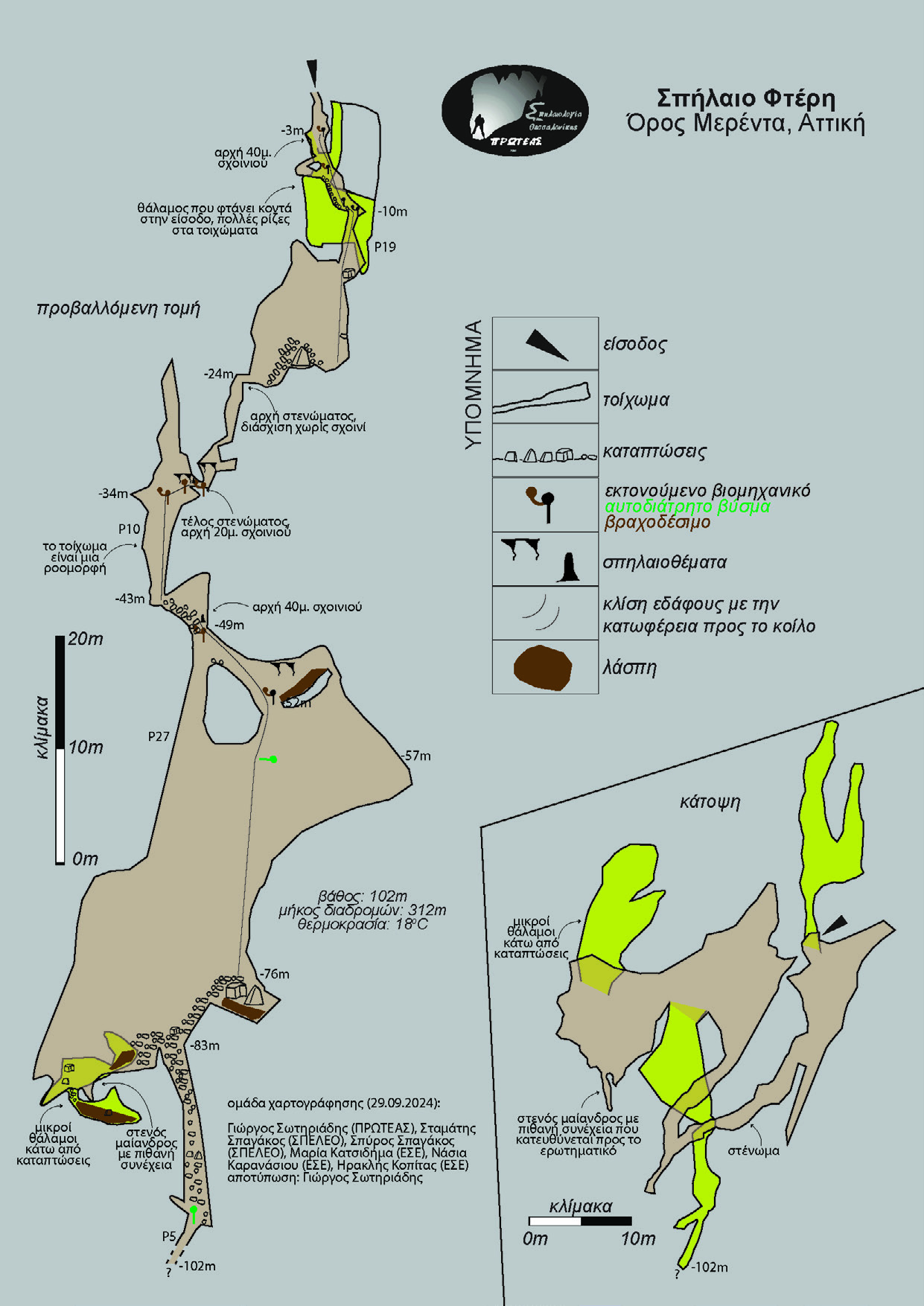
These survey data were radically revised in 2024. In a joint inter-club collaboration, the Thessaloniki Caving Club “PROTEAS“, alongside cavers from E.S.E. and S.P.E.L.E.O., carried out an extensive re-exploration and precision survey expedition. PROTEAS’ updated cave map revealed the true scale of the system, extending the total developed passage length to 312 meters and establishing the maximum depth at -102 meters, making Fteri the 4th deepest pothole in Attica.
Approach & Entrance
The Fteri Pothole (Fteri I) lies within the administrative boundary of the Municipality of Saronikos, with its entrance located at an elevation of 410 meters.
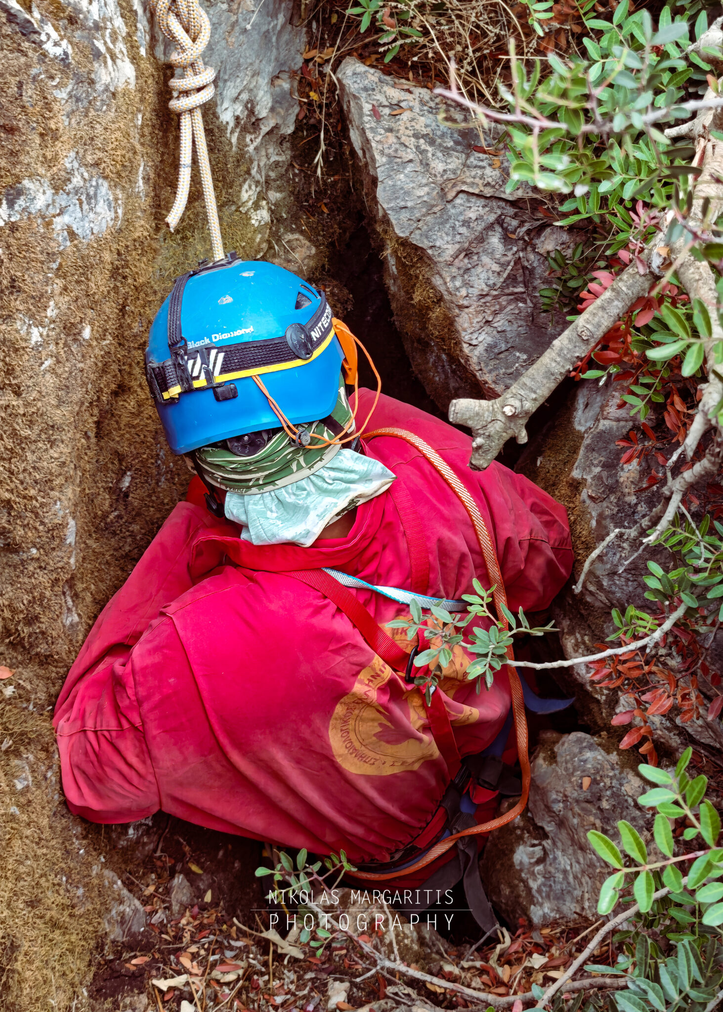
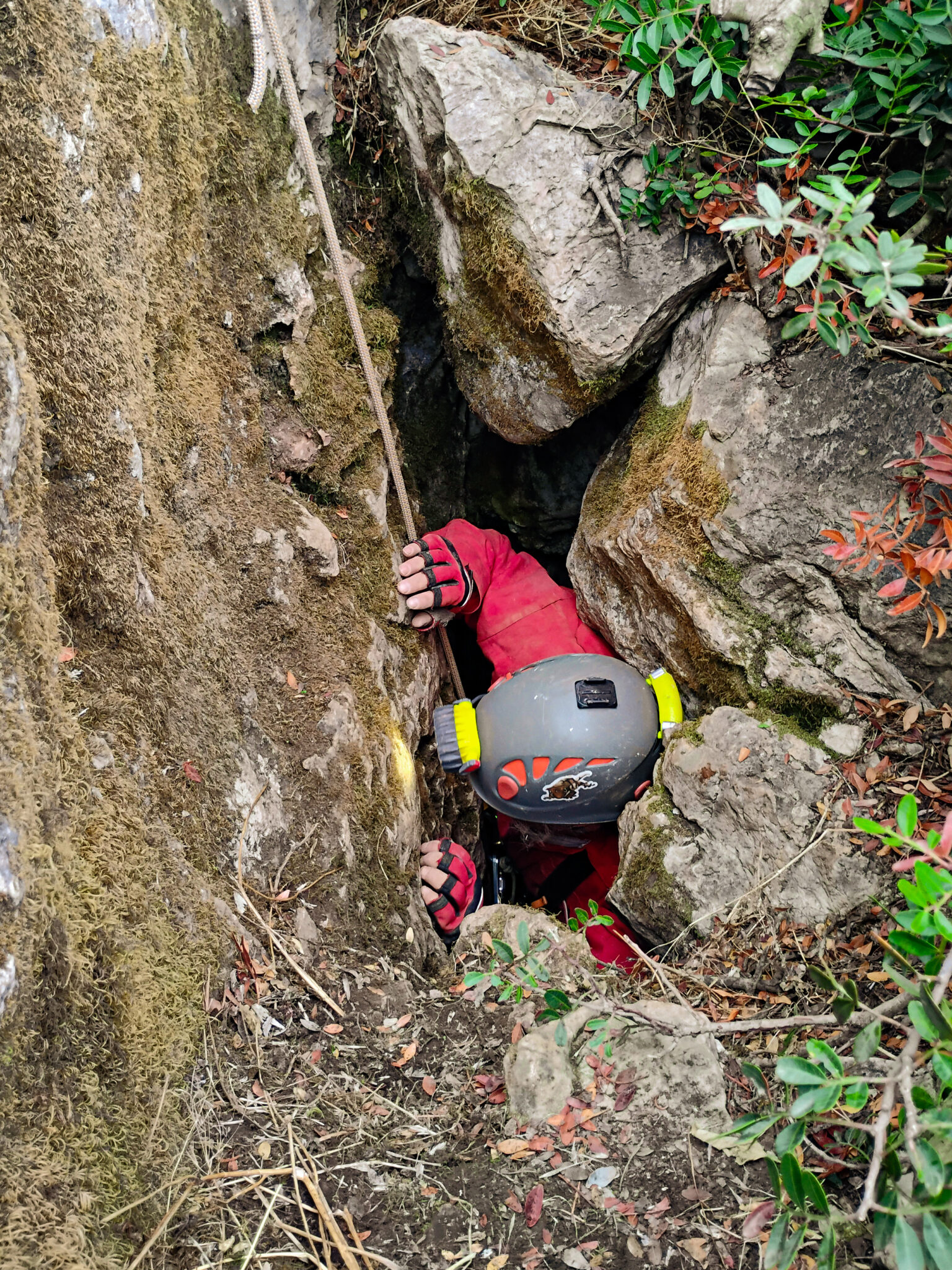
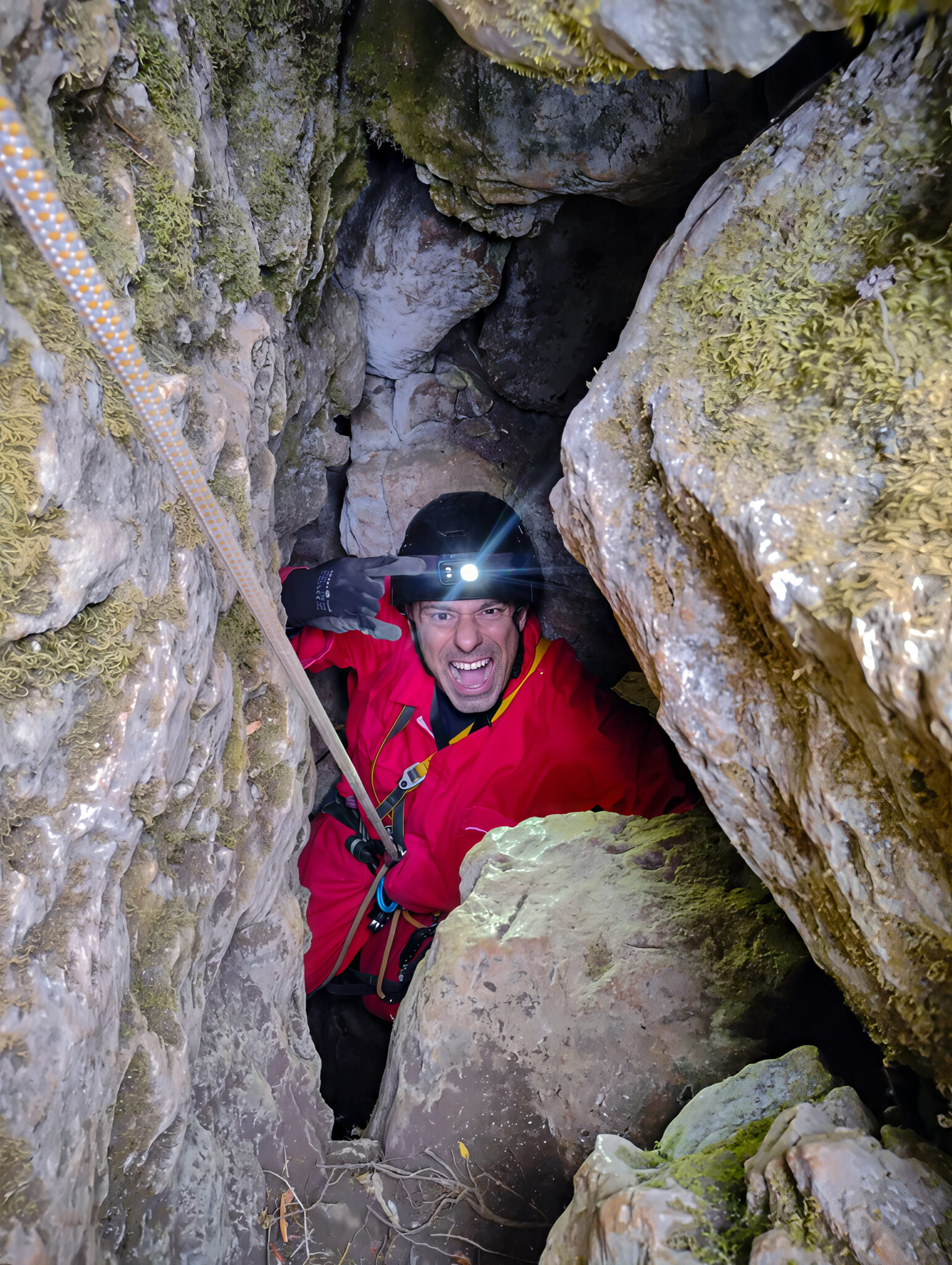
Access requires a short hike through low but dense vegetation of kermes oaks and mastic bushes over rugged, rocky terrain. The characteristic ferns (Fteri), from which the pothole takes its name, grow right at the sheltered and damp lip of the entrance shaft, rendering it completely invisible to hikers. The entrance itself is a narrow, vertical fissure approximately 3 meters deep, barely wide enough for a caver to squeeze through, requiring bridging techniques and a fixed rope guide for safe entry.
Descent & Technical Characteristics
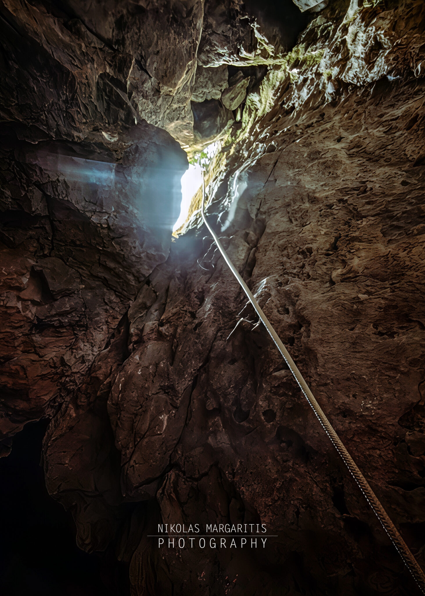
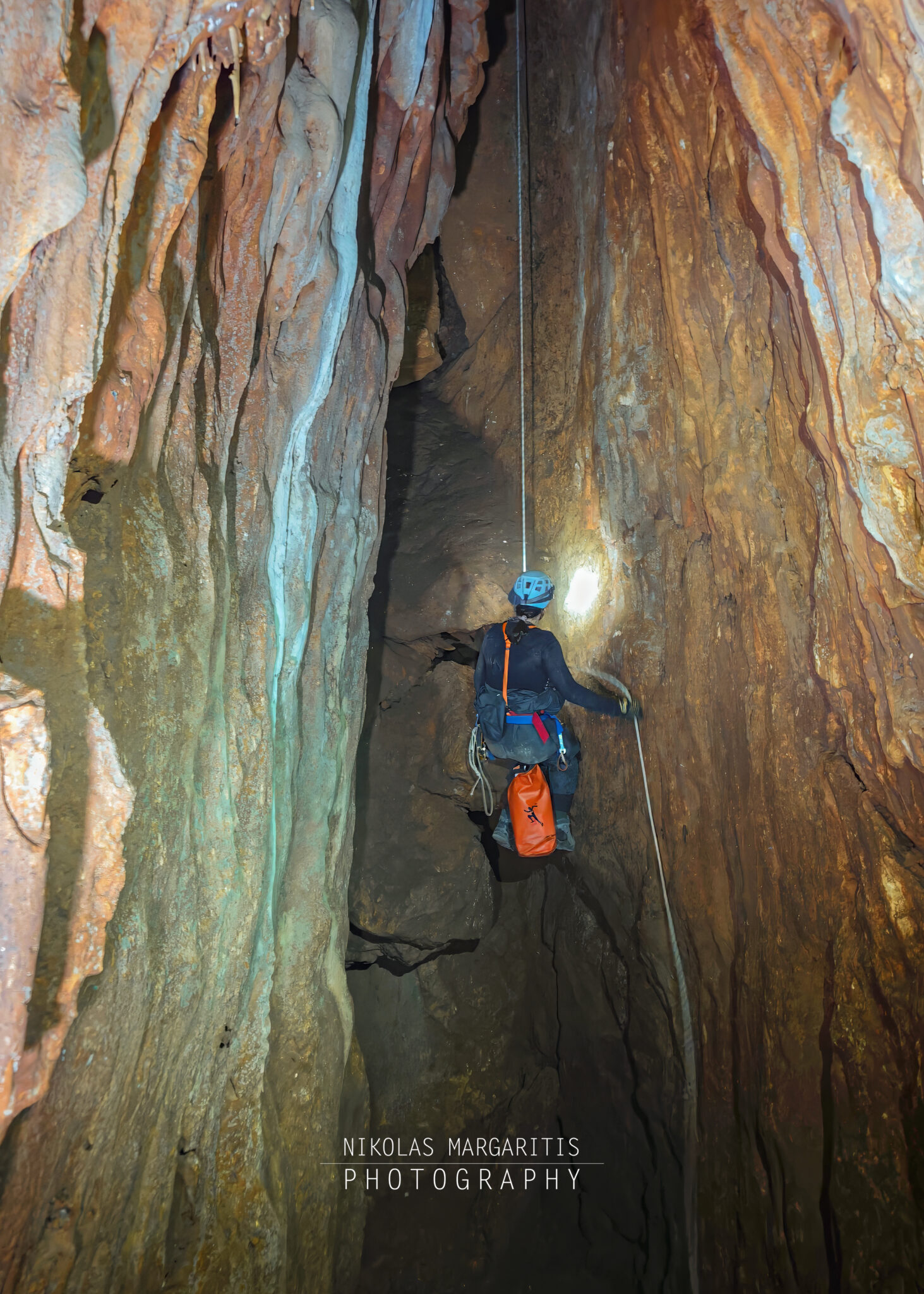
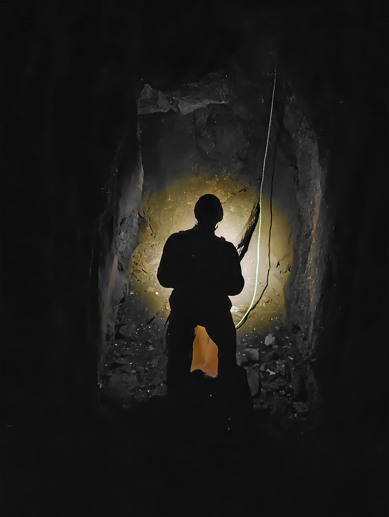
The team descended vertically through the initial 19-meter pitch (designated as P19 on PROTEAS’ official survey) towards the internal breakdown mound.
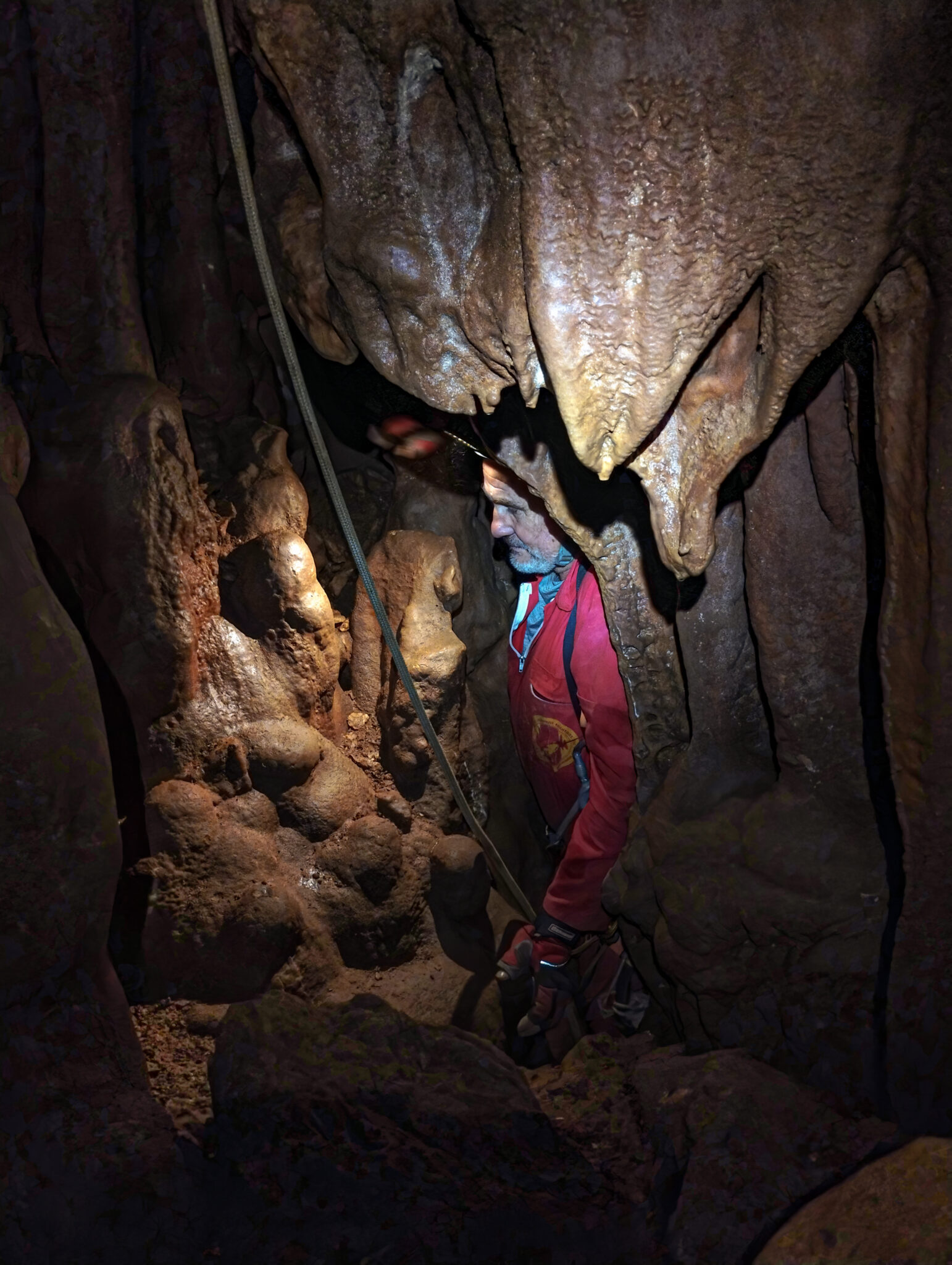
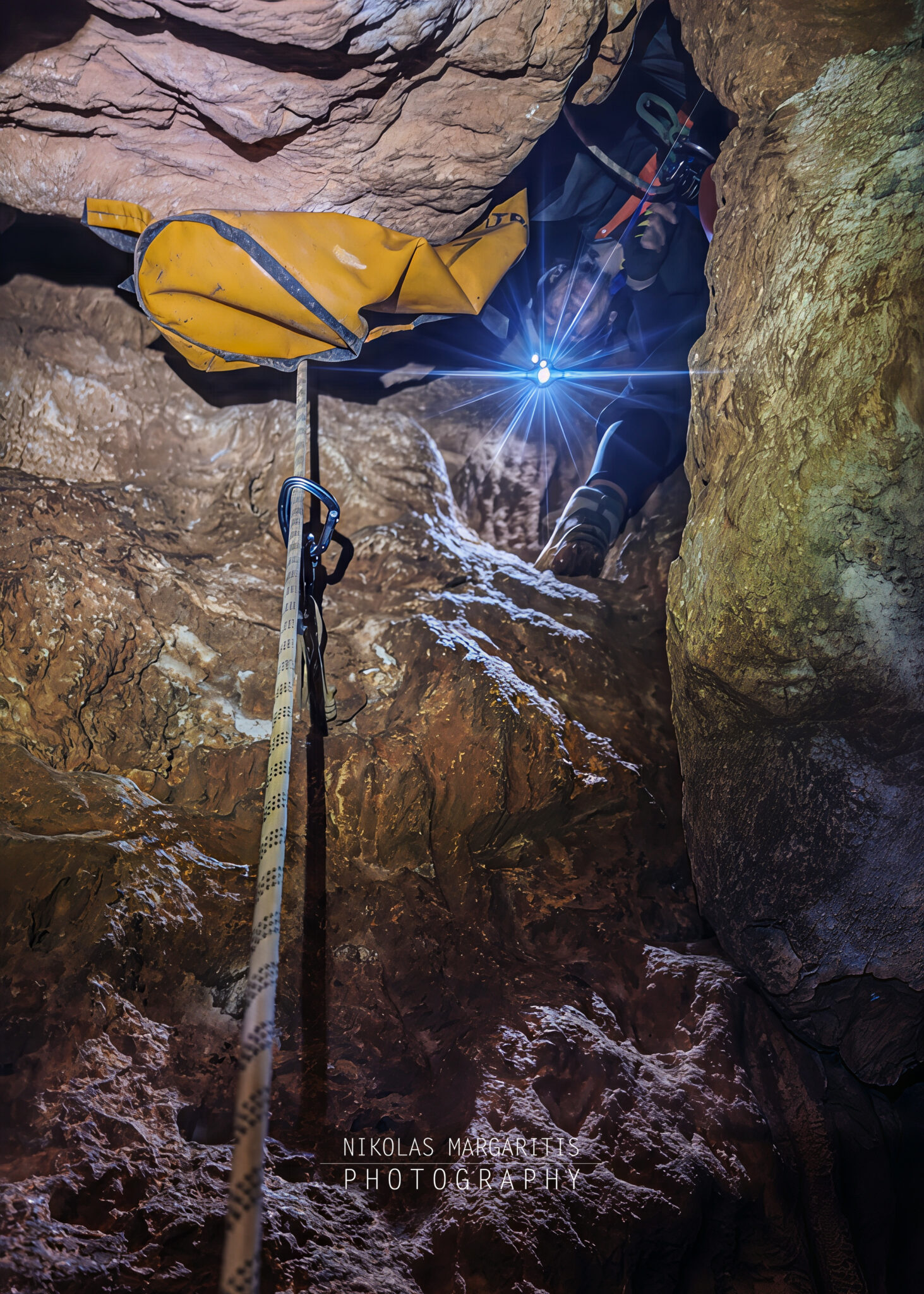
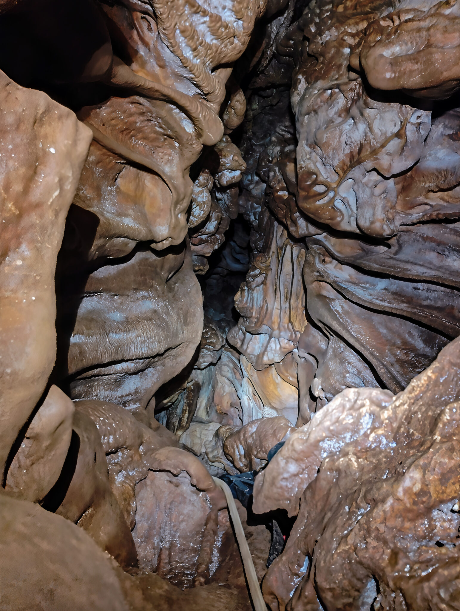
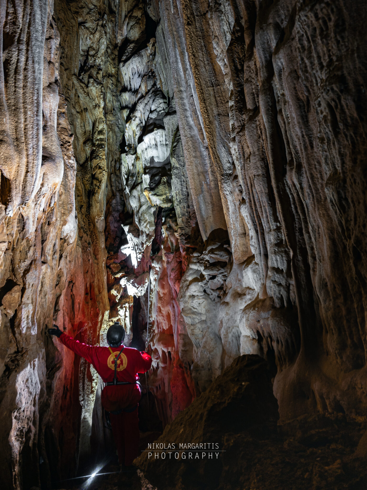
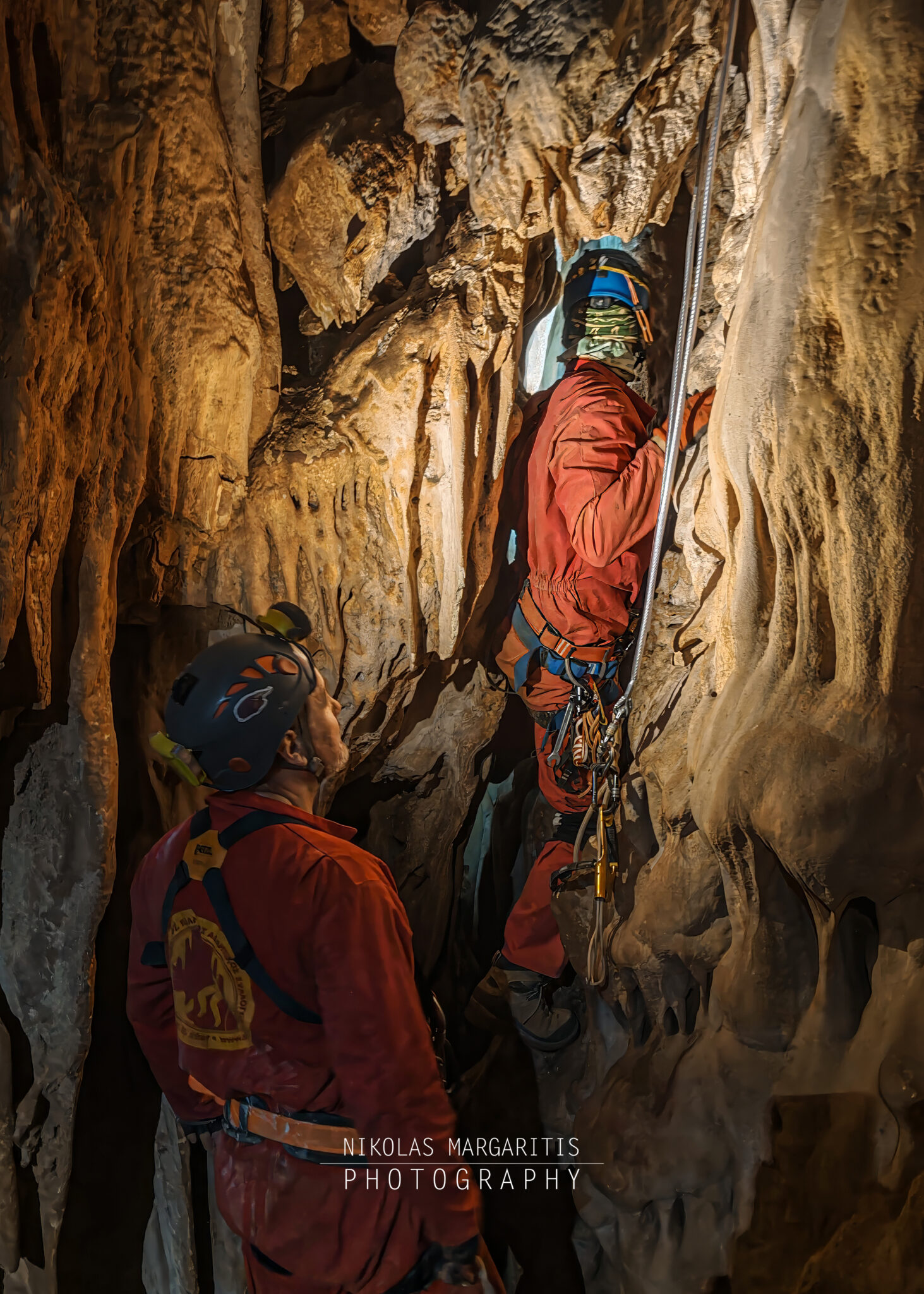
At a depth of -24 meters, the cave morphology changes abruptly. The shaft tightens significantly, complicating progress. The presence of the impressive stalactite formations at this point, along with the side walls, narrows the passage even further, creating a natural “bottleneck” before the long vertical descents. There, the apparent continuation was not possible through the fork that opened up ahead of us, so the team had to search for about half an hour before locating the passage through a narrow opening in the floor below and to the right.
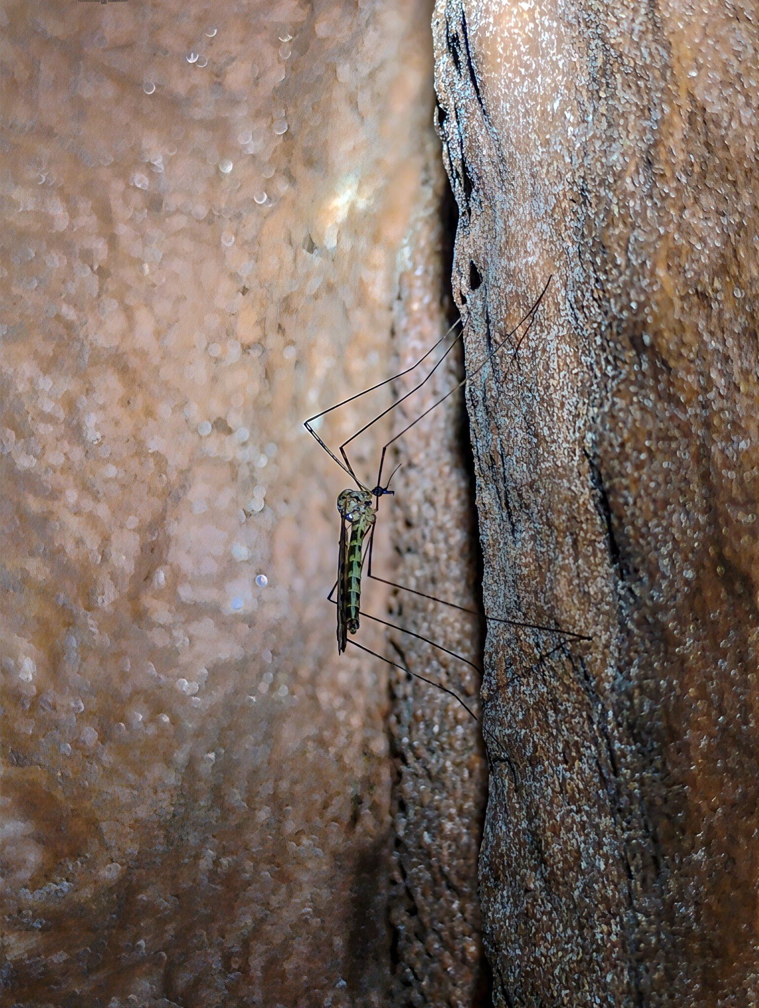
At this key junction, just before the narrow pinch, the team had an unexpected encounter with a small bat resting on the passage wall.
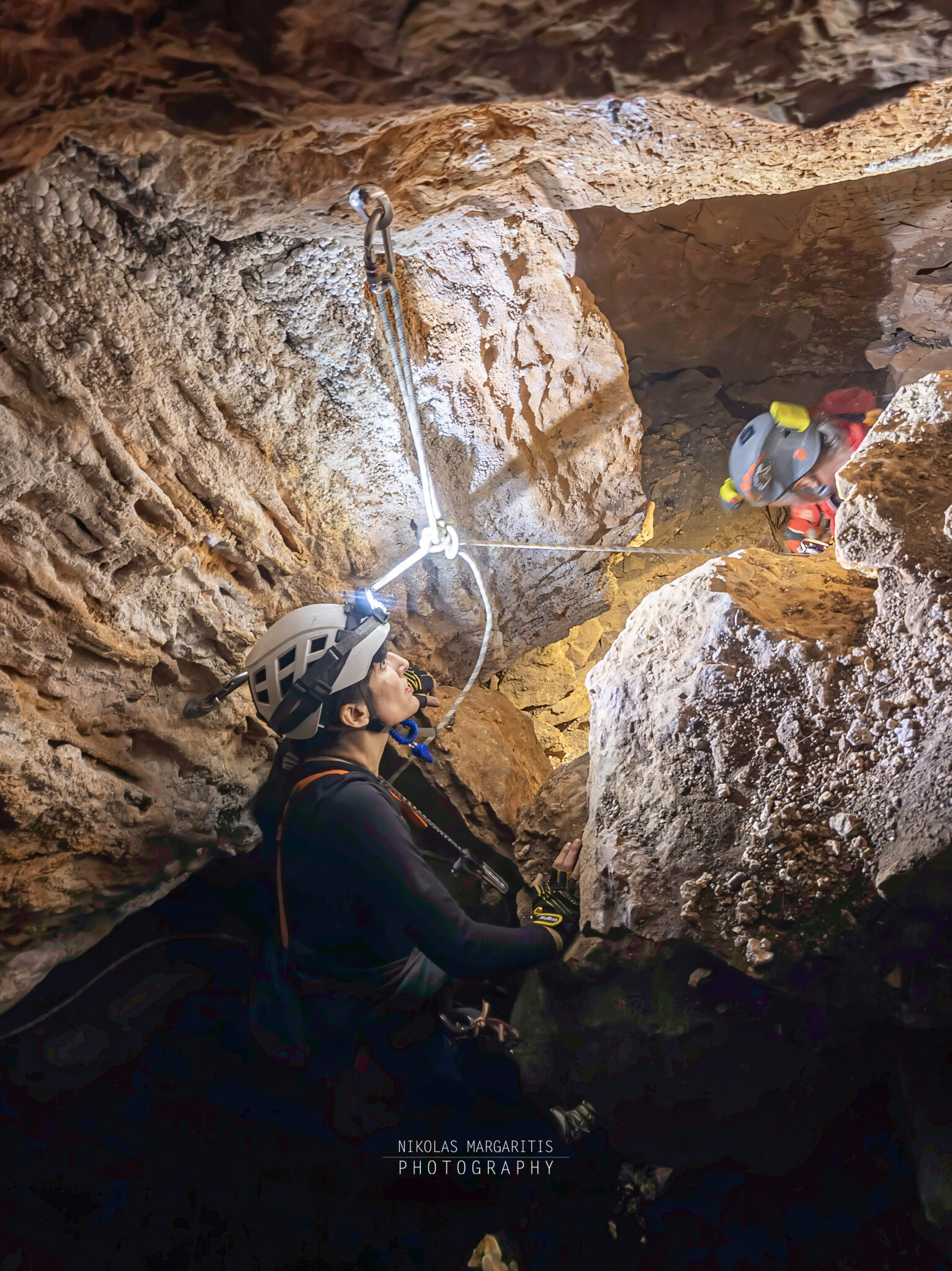
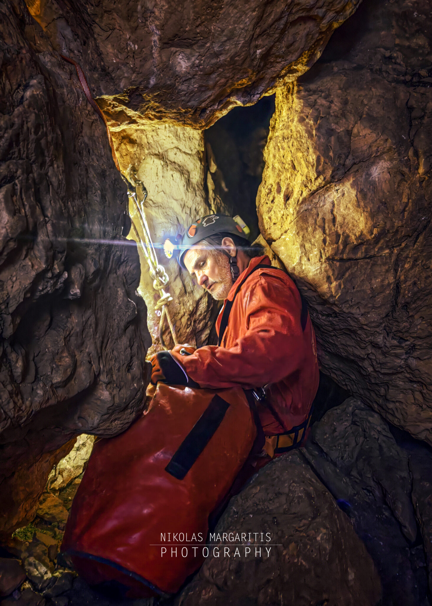
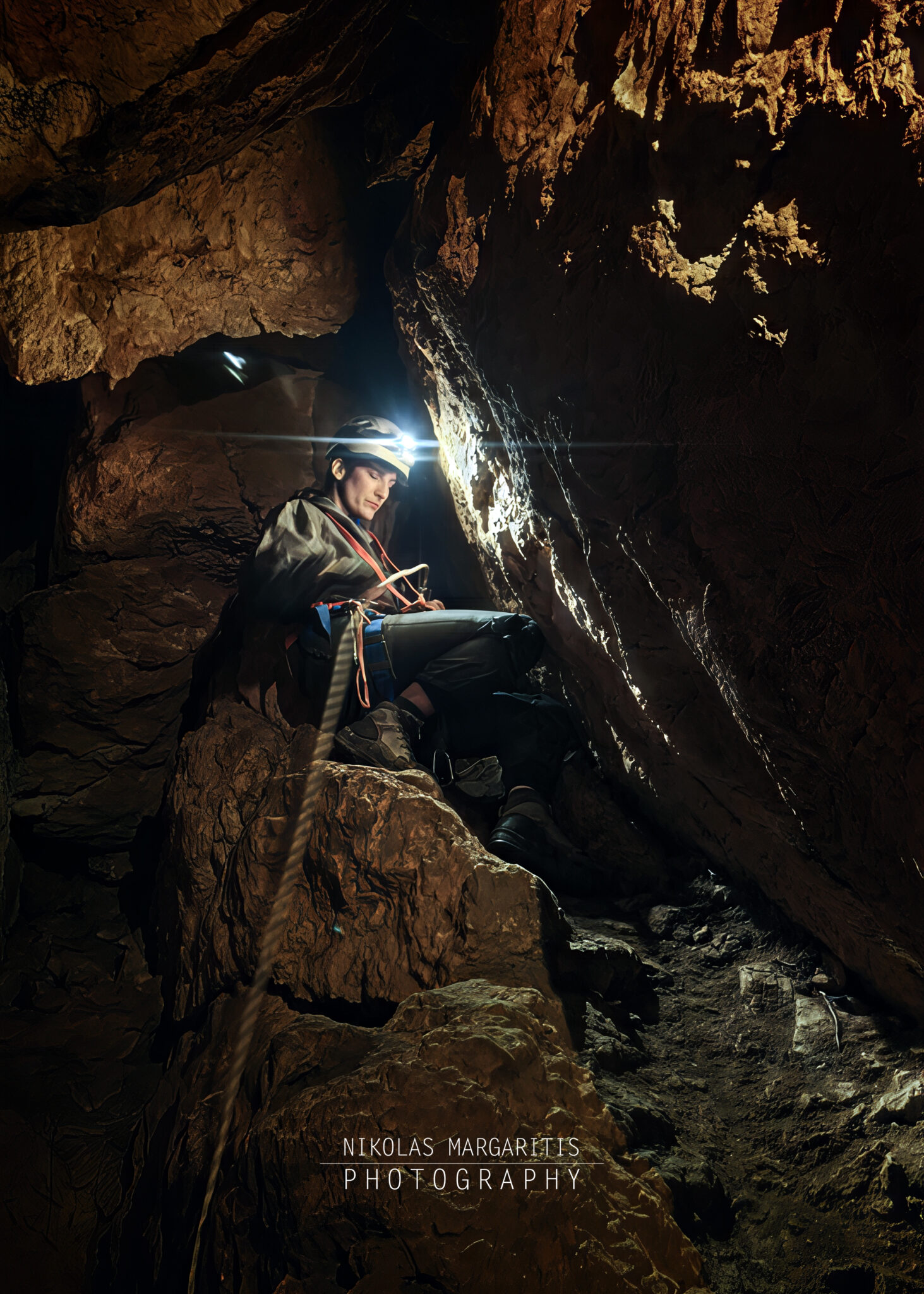
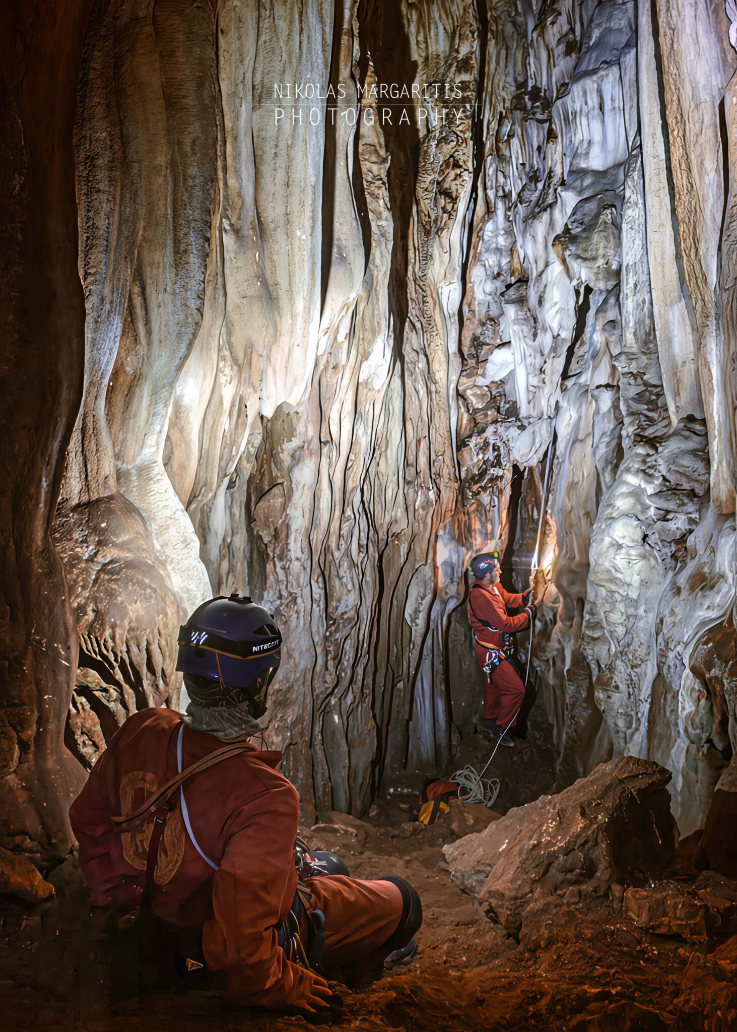
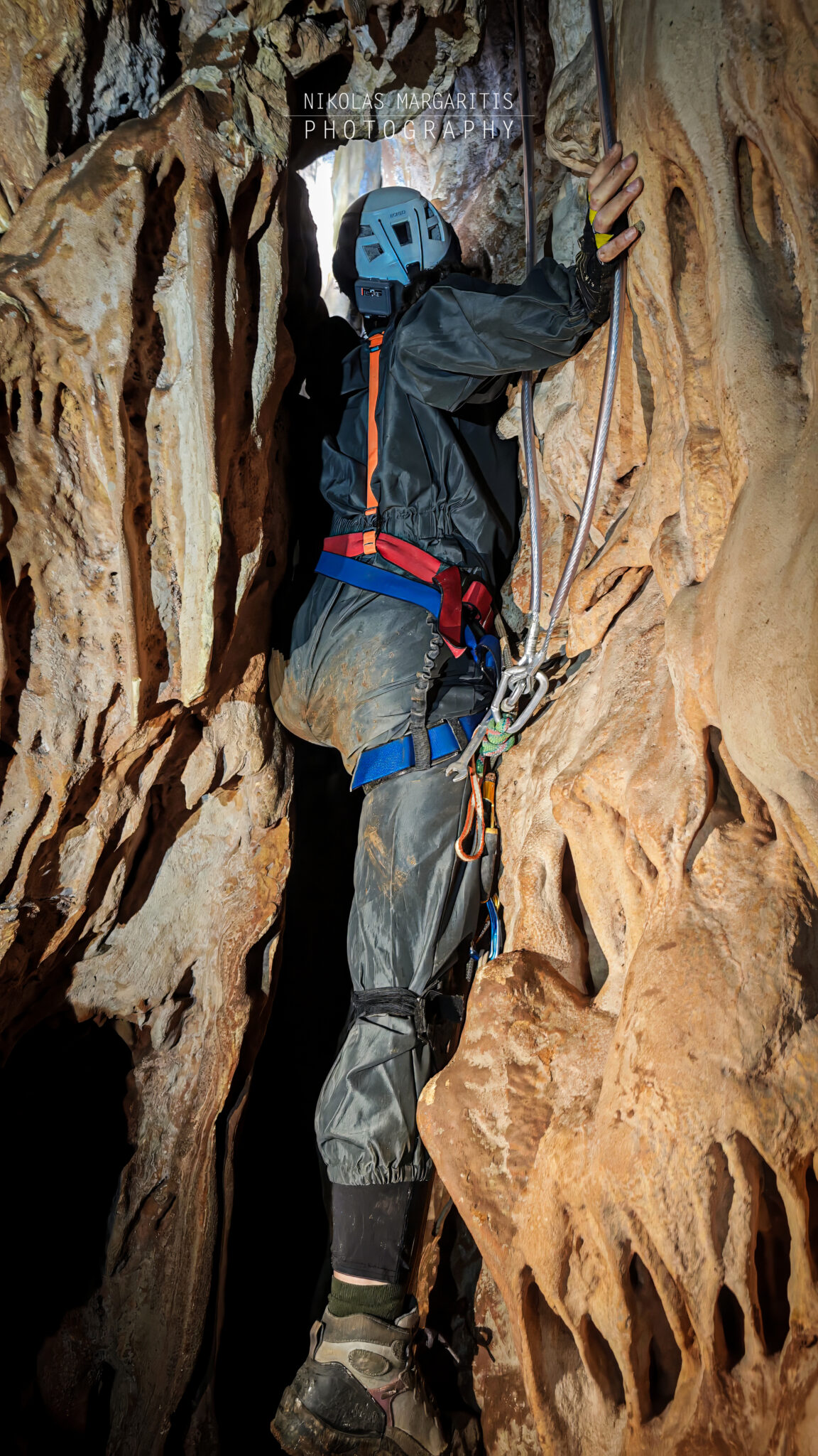
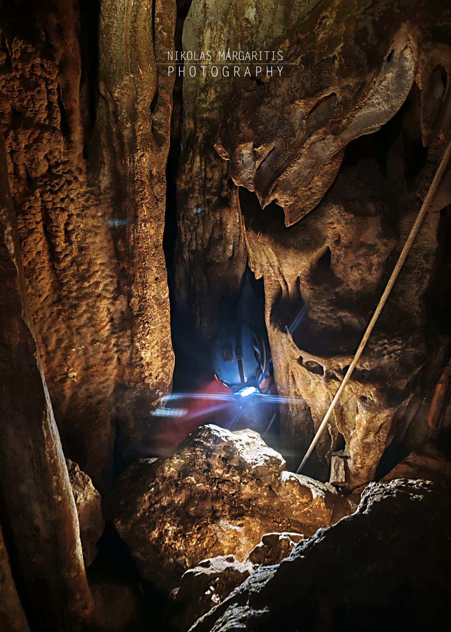
Immediately after, the team entered the narrow meander, which exhibited a pronounced sinuous morphology with continuous vertical steps and sudden directional changes. Cavers progressed steadily using bridging techniques. Meanwhile, a traverse line was installed along the route to ensure team safety and aid movement, enabling safety lanyard clipped-in maneuvers and friction descents.
Proceeding methodically and securing each pass, the team reached a depth of 34 meters, right at the start of the traverse line, concluding the first stage of the expedition.
During the second expedition, the team completed a full descent to the cave’s deepest known point at -105 meters. Subsequently, we thoroughly surveyed the lower levels and tight meanders.
In the final section of the descent, we identified two potential leads. These points may connect to higher levels of the cave system via aid climbing. The first lead sits approximately 5 meters above the chamber floor. Meanwhile, the second lead is located at a height of about 20 meters on the left wall, facing away from the scree slope.
Additionally, the team inspected a vertical fissure at the bottom of the -105 meter level. Although the fissure initially descends, it quickly tightens into an impassable squeeze.
Furthermore, cavers explored a separate conduit at the -84 meter level that leads into two small chambers. Giannis Papaioannou surveyed this specific section, and we will document these findings in detail in a future update.
In summary, the team identified no obvious negotiable continuation. However, we located two potential leads that require aid climbing for further exploration. On the other hand, we ruled out the vertical fissure at -105 meters due to extreme tightness. Finally, we explored a side passage with two chambers at -84 meters, which requires further mapping and study.
Acknowledgments
We wish to thank the Hellenic Speleological Athletic Association (S.E.L.A.S.) for organizing the expedition and Giorgos Sotiadis for granting permission to republish the cave map.
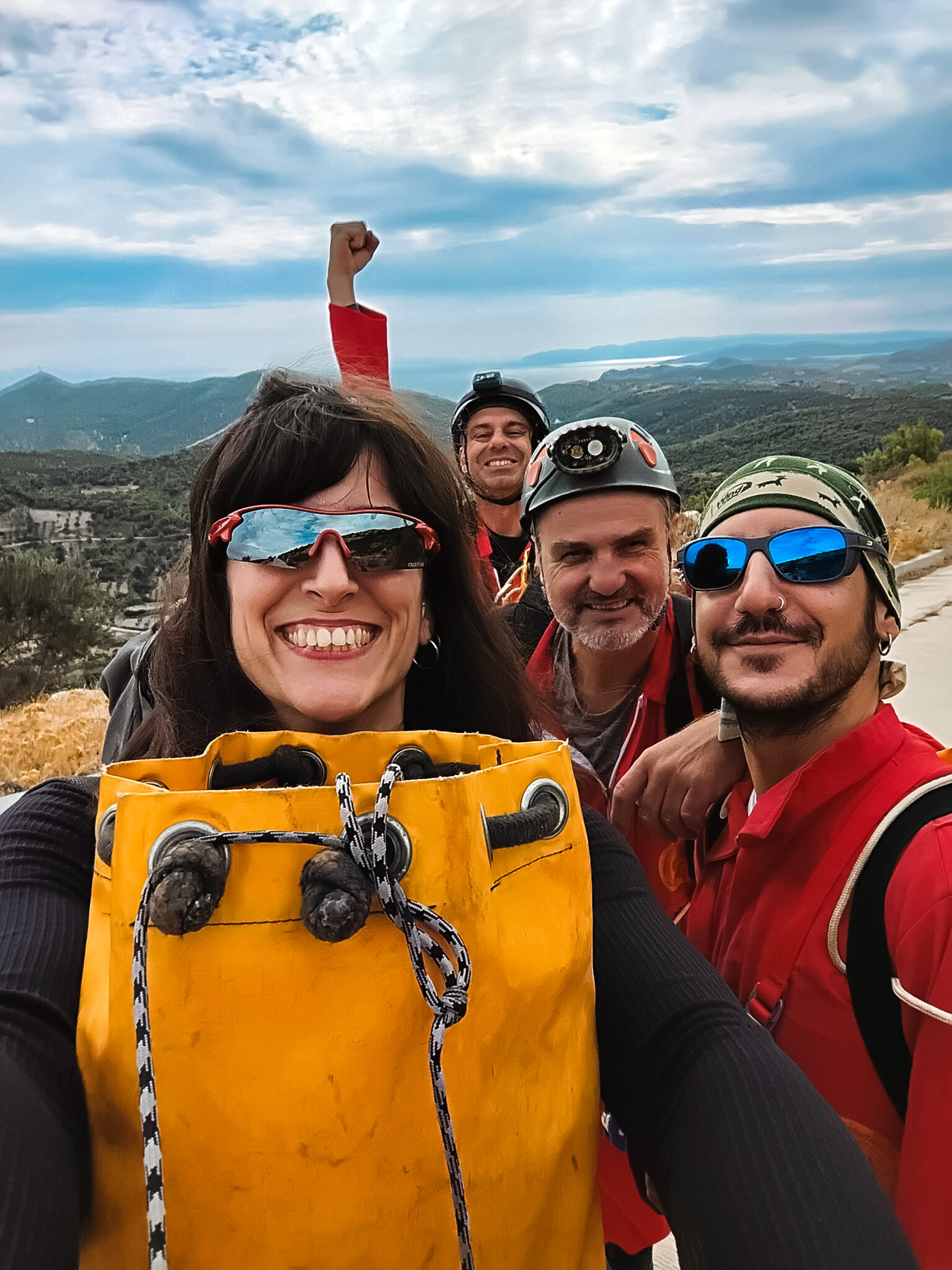
Expedition Participants: Nikolas Margaritis, Marianthi Pantazi, Sokratis Avgeris, Spyros Psaromiligkos, Giannis Papaioannou, Mark Lucas de Peslouan.
Research and text editing: Nikolas Margaritis
Photos: Nikolas Margaritis, Marianthi Pantazi
Sources
-
Nezis N. (2002). The Mountains of Attica. ISBN: 9789608195165
-
Ministry of Culture / Ephorate of Palaeoanthropospeleology (Archaeological usage data of Merenta caves).
-
Archaeological Cadastre of Greece.
-
Archaeological Museum of Brauron / Historical data on the ancient municipality of Myrrhinous.
-
Sotiriadis G. (Ed.) 2025. Caves of Attica: Mount Merenta. PROTEAS Caving Club of Thessaloniki, Athens, 18 pp.
-
PROTEAS Caving Club of Thessaloniki (Revised survey & inter-club exploration 2024).
-
Hellenic Speleological Society (E.S.E. – Primary exploration archive & Cave Registry No. ASM 7210).

 English
  Greek
Greek